-
Jammu Kashmir
Jammu
Kashmir
Ladakh
When we say, “We can make a World of Difference” here’s why?
We love to serve you. -
JK Tours
Kashmir

"You can leave Kashmir, but it will never leave you."
Come See Kashmir -
Adventure
Pilgrimage
Sightseeing
"You can't understand a Kashmir without staying with us."
Lets Travel Kashmir -
Art and Culture
Landscape
Architecture
Events and Festivals
"Gar firdaus baruhe zamin ast Hamin asto, hamin asto, hamin asto"
(If there is a paradise on earth, it is here, it is here, it is here.) -
Before you Go
When to Go
Accomodation
We arrange your stay in top luxurious hotels and houseboats. During your stay you are our guests and it is our duty to make you feel home in Kashmir.

Get a quote | make a booking
It’s easy to get a quote or book a Tour with Us.
Kashmir Travels often has some great deals and you can view these by clicking.
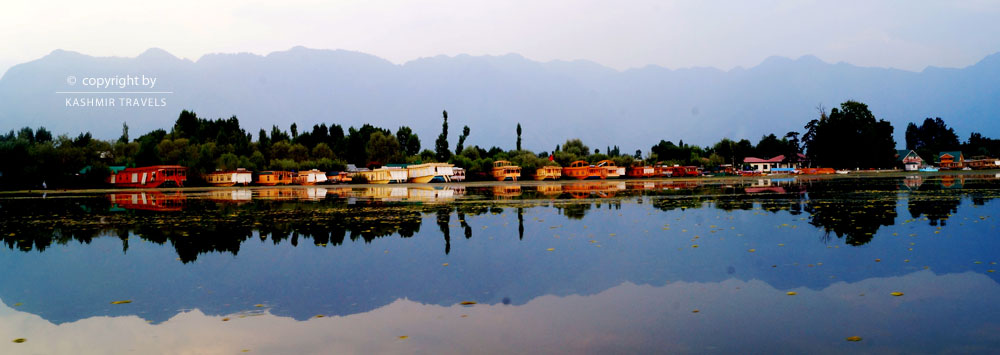
EXHILERATING VIEWS
Enjoy breathtaking views, unmatched anywhere else in the world. Our hotels and houseboats are located on some of the most pristine locations of Kashmir.
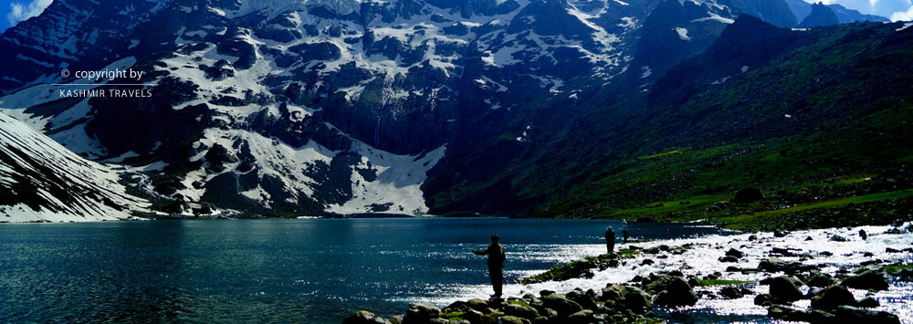
Traveler's Guide
With the Kashmir travels scheme you can get exclusive rates, or join us as an affiliate to earn commission on all referrals.
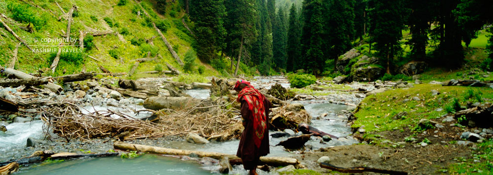
Travel Needs
Just leave the details to us! Our reliable and well trained travel consultant will be waiting to escort you. We arrange your stay in top luxurious hotels and houseboats.
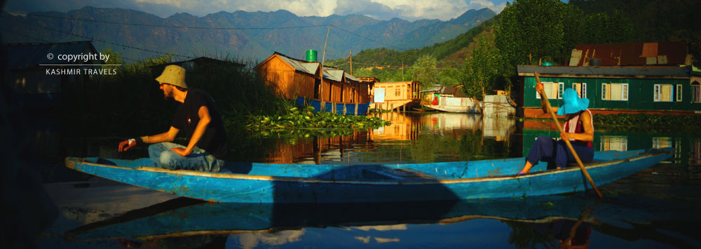
Traveler's Guide
When we say, “We can make a World of Difference” here’s why? We love to serve you.Kashmir Travels is a family-owned business that was founded in 1960s.
Group Tours
We will go the extra mile to facilitate your booking. Whether you have a sports team, school group, band, orchestra, family.

Excellent 24/7 customer service
Kashmir Travels is a special team dedicated to catering to the travel needs we can source excellent group rates, for Treks, Ski, Tours.
Kashmir's Topography
Physical Features
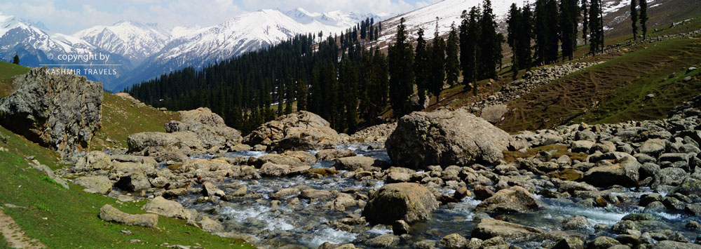
The state can be divided into four major regions: the sub-mountain and semi-mountain plain known as kandi or dry belt; the Shivalik ranges, the high mountain zone constituting the Kashmir Valley; PirPanchal range and its off-shoots including Doda, Poonch and Rajouri districts and part of Kathua and Udhampur districts; and the middle run of the Indus River comprising Leh and Kargil. Kashmir is a multi-dimensional variegated backdrop physical exuberance. Its sanctity and evergreen stature is varied from the chaste shimmering snow, with its virgin demeanor from top to toe, adorning the towering peaks of its mountainous periphery. Mellowing kisses of the sun endow these summits with a rosy blush lending perennial health to our warbling brooks, roaring waterfalls and sedate and solemn lakes. To crown all, this very nectarine glow has most meaningfully groomed our mental attitude to glean unity amidst seeming diversity.Climate
Although a small state, the climate of this state varies from one region to another. The climate of Jammu region is tropical while it is semi-arctic in Ladakh and temperate in Srinagar region. Accordingly, rainfall also varies from region to region and while there is almost no rainfall in Ladakh, Jammu receives a rainfall of above 1,100 mm and Srinagar around 650 mm.- TRAVEL GUIDE
- Flights
- Hotels
- Houseboats
- Reach Amarnath
- River Rafting
- Rock Climbing
- Shikara
- Skiing
- Treks
- JK TOURS
- Kashmir Tour
- Amarnath Yatra
- Family Vacation
- Kashmir Holiday
- Kashmir Honeymoon
- Kashmir Ladakh
- Katra Kashmir
- Sri Vaishnodevi
- Srinagar Tour

