LADAKH
Roads in Ladakh
SRINAGAR TO LEH
The journey from Srinagar to Leh is a truly enchanting experience albeit it can at times be tiring. The road snakes along high mountains and mountain passes. The road often gets closed due to harsh weather conditions. The journey from Srinagar to Leh goes along National Highway and starts in Srinagar, capital of the lovely valley with its rich rolling downs, clear springs and meadows of lovely wildflowers passing through Ganderbal a haven of rest, calm and serene on the banks of the flowing Sind and banked by shady plain trees, to Kangan, 46 km (28.5 miles) from Srinagar, where the valley starts getting narrow and the mountain scenery makes a beginning. A few miles to the north is a temple built by Jaluka, son of Ashoka. Going along the stony road cut of a mountain slope, on the other side of which a precipice overlooks the roaring Sind river, banked by green belts of coniferous and deciduous forests, it passes Gund (21 km, or 13 miles) and reaches, after a steep rise, to the lovely valley of Sonamarg, or meadow of Gold, (22.5 km) at a height of 2,743 metres surrounded by mountain between 4,267 and 4,877 metres (14,000-16,000 ft) high and 84 km from Srinagar.ZOJILA PASS
At the foot of Zojila is a spring where sweet water gushes out, as a welcome prelude to ascending the slopes, all around are smiling, green wheat, and barley fields. The slopes to the mountain pass are covered with flowers in varied and diverse colours; on top unfolds a glorious view of the Sind valley, the path to the pass is lined with birch trees, interspersed with flowers, on either side. This is the last look one has at green hills, gushing streams and waterfalls, before one crosses through the walls of snow and ice of the snow bound pass 3,507 metres (11,578 ft) hitg—on the other side, the scene rapidly gives way to a compelling view of a dramatic, stark sea of bare mountains as far as the eye can see. Immediately after crossing is a milky white stream of glacial water and a small waterfall, the source of the Sind River which joins the Amravati stream from Amarnath at Baltal.Zojila Pass is one of the highest passes of Srinagar to Leh road.THE DRASS VALLEY
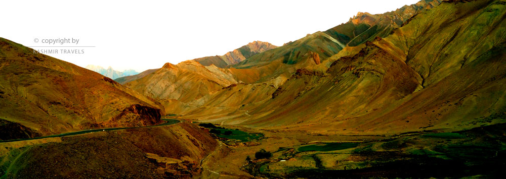
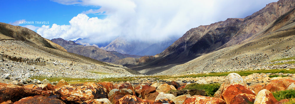
Watered by the DrassRiver issuing from the Zojila, it is the coldest place in Asia, and in the bitter winter deluge of snow, firewood has to be brought from Baltal at the foot of the pass. Keeping to the left bank of the river, the vegetation is green, pencil cedars and wild roses linethe route while flocks of ibex frisk over the naked cliffs. The sky opens over the low mountains and valley after valley appears with hills detached from the main range while flocks of finches and skylarks soar above.In the center of the valley is Pandras which has several water mills, on the green slopes and cattle graze contentedly. As one passes the villages of Pandras and MuradBagh the grass begins to get less green. Soon, in a broad of the valley, 3 km. (2 miles) wide and 5 km. (3 miles) long consisting of alluvial terraced plateaus watered by the river Drass, stands the coldest place in Asia and the second coldest place in the world - the village of Drass, 3,033 meters (9,950 feet) high and bounded on the north by irregular¬ shaped spurs jutting up in rocky peaks - bare of vegetation - a barren expanse of brown stone and rocks.Drass valley is cold as well as beautiful, one of the more beautiful areas you will come across in your journey from Srinagar to Leh.
KHARBU
From here Kharbu, the next village, is 10 kilometres (6.4 miles) away, from where the road zig-zags, meanders, ascends and descends, winding up and down hundreds of spurs till one reaches the town of Kargil - 24 kilometres (15 miles) from Kharbu via Channigund. Channigund is 14 km from Kharbu and Kargil is 10 km ahead Channigund. In the summer, the sun beats down mercilessly - the rocks are like cinders and the sand, sparks of fire.KARG1L
The journey from Sringar to Leh by road is an obvious overnight journey and usually Kargil is your place to stay for the night. It is one of the main towns of Ladakh region and has been converted into a district now with many beautiful and important places coming into its lap.THE SURU VALLEY
At a sharp bend in the road where the Suru joins the town of Kargil, capital of the Suru Valley, comes into sight. This is half-way house to Leh. The centre of the district, and lying on both banks of the river, it is the meeting place of three routes : one goes to Zanskar, the other, crossing the suspension bridge, to Yarkand via Leh and the third to Skardu, 5 kilometres (3miles) below Kargil across the Drass river.Peopled by Shias, there is a beautiful mosque in the main bazar; which teems with Kashmir embroidery, turquoisejewelry, tobacco, raw sugar and other exotic items. Most of the 20 scattered villages in the green Suru Valley are at a height of 2,743 meters (9,000 feet), the sun has greater warmth and force resulting in an abundance of fruit trees, mainly mulberry and apricot. Though the road is well shaded by willow trees, the sandy soil of the land is fertilized with a mixture of earth and cow-dung. Here and there in the Suru Valley one comes across treeless plateaus, once polo grounds of the Baltis.
SRINAGAR TO LEH AT A GLANCE
| Altitude | Places | Distance |
|---|---|---|
| 5,200 ft. | Srinagar - Sonamarg | 85 km. |
| 8,500 ft. | Sonamarg - Sarbal Sarbal - Gumari |
8 Km. 18 km. |
| 11,578 ft. | Gumari (via Zojila Pass) - Minimarg Minimarg - Matayan Matayan - Drass |
9 km. 8 Km. 20 Km. |
| 9,200 ft. | Drass - Thasgam Thasgam - Kharbu Kharbu - Channigund Channigund - Kargil |
23 Km. 10 km. 14 km. 10 km. |
| 10,879 ft. | Kargil - Mulbekh Mulbekh - Namikala Namikala - Boddhkharbu Boddhkharbu - Hemiskut Hemiskut - Fotu-La |
40 Km. 15 Km. 15 Km. 9 Km. 12 Km. |
| 13,479 ft. | Fotu - la - Lamayuru Lamayuru - Khalse Khalse - Saspol Saspol - Nemo |
15 Km. 27 Km. 35 Km. 26 Km. |
| 11,500 ft. | Nemo - Leh | 36 Km. |
| Total distance Srinagar to Leh | 434 km. |
CIN : U63040DL2008PTC177736 Government of India
Reg No : Reg/2019/DT/42/l-2 Government of J&K Tourism

