-
Jammu Kashmir
Jammu
Kashmir
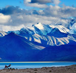
Ladakh
When we say, “We can make a World of Difference” here’s why?
We love to serve you. -
JK Tours
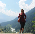
Kashmir
"You can leave Kashmir, but it will never leave you."
Come See Kashmir -
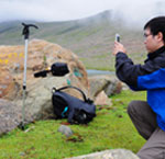
Adventure
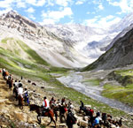
Pilgrimage
Sightseeing
"You can't understand a Kashmir without staying with us."
Lets Travel Kashmir -
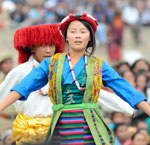
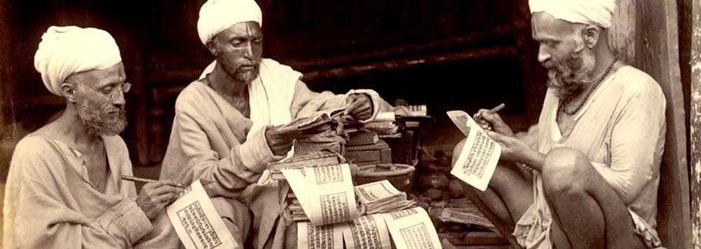
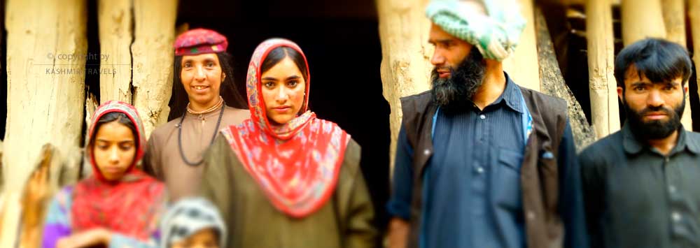
Art and Culture
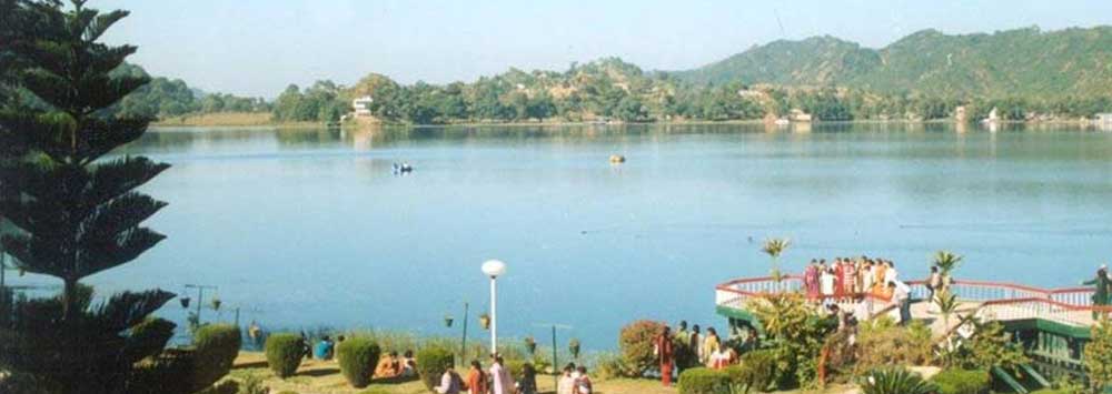
Landscape
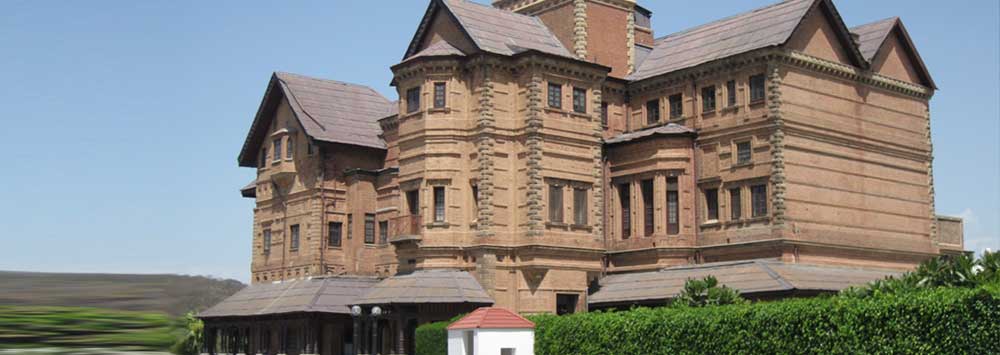
Architecture
Events and Festivals
"Gar firdaus baruhe zamin ast Hamin asto, hamin asto, hamin asto"
(If there is a paradise on earth, it is here, it is here, it is here.) -
Before you Go
When to Go
Accomodation
We arrange your stay in top luxurious hotels and houseboats. During your stay you are our guests and it is our duty to make you feel home in Kashmir.
Get a quote | make a booking
It’s easy to get a quote or book a Tour with Us.
Kashmir Travels often has some great deals and you can view these by clicking.
EXHILERATING VIEWS
Enjoy breathtaking views, unmatched anywhere else in the world. Our hotels and houseboats are located on some of the most pristine locations of Kashmir.

Traveler's Guide
With the Kashmir travels scheme you can get exclusive rates, or join us as an affiliate to earn commission on all referrals.
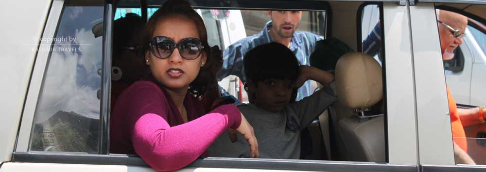
Travel Needs
Just leave the details to us! Our reliable and well trained travel consultant will be waiting to escort you. We arrange your stay in top luxurious hotels and houseboats.
Traveler's Guide
When we say, “We can make a World of Difference” here’s why? We love to serve you.Kashmir Travels is a family-owned business that was founded in 1960s.

Group Tours
We will go the extra mile to facilitate your booking. Whether you have a sports team, school group, band, orchestra, family.
Excellent 24/7 customer service
Kashmir Travels is a special team dedicated to catering to the travel needs we can source excellent group rates, for Treks, Ski, Tours.
Tour Packages
No need to surf Multiple Sites for packages, quotes, travel plans! Simply fill the booking form and Get up to 4 quotes in your MAILBOX.
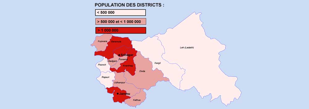
Places to visit in Jammu
PATNITOP
Patnitop is a hill station in the Udhampur district of Jammu division of the Indian state of J&K. It is located on the National Highway between J&K and is the highest point of the road at a distance of 47 km from Udhampur and 112 km from Jammu. Patnitop is among top visited touristic places in the state.For more information about Patnitop
DODA
Located on the Batote-Badarwah road, Doda district is the third largest in terms of area after Kargil and Ladakh. The district was between 32o – 53’ and 34o – 21’ north latitude and 75o – 1’ and 76o – 47 east longitudes. It is cold in climate with snowfall in winter. Originally known as Rafiabad, it developed only after been chosen as district headquarters. It is a market place for products of Guajjar, Bakarwal e.g., raw wool, wide’s, skins, dairy products etc. Summer is best time to visit.For more information about Doda