LADAKH
Places to visit in Ladakh
LEH
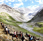
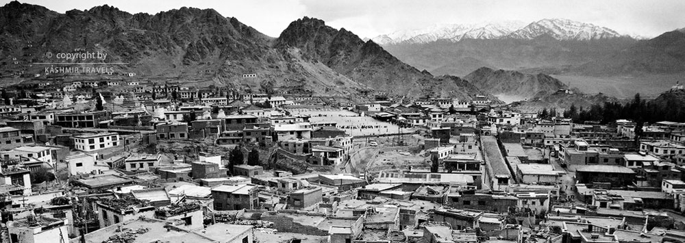
Leh is the largest district of Jammu and Kashmir and the second largest in India. It has an area of 45110 sq Km. The district lies 32-36 degree north latitude and 75-80 degree east longitude at an average altitude of 3524 metres. The altitude ranges from 2300 to 5000 metres. This makes it one of the world’s coldest and most elevated and inhabited land. This district is bordered by Pakistan occupied Kashmir towards the west. China borders it on the north and eastern sides and Himachal Pradesh towards South east. Leh-Ldakh is connected to Kashmir division and Himachal Pradesh by road. The distance from Srinagar is 434 km and from Manali it is 474 km. Most of the area consists of mountains with three Himalayan ranges The Karakoram, The Zanaskar and The Ladakh. Between these ranges of mountains flow the Indus, Shayok and the Zanskar rivers and most of the population reside in these river valleys.Leh has a great historical significance as it was a stopover of many important trade routes during the medieval period. Leh is the administrative capital of Ladakh. The greatest charm of city is its palace, which although ruined now, still dominates the place. This Royal palace known as Leh Palace was built by King Sengge Namgyal. It consists of nine storeys; the royal family lived in the upper floors. The palace is now empty and crumbling as the royal family moved to Stok Palace some 10 miles away. However the crumbling palace holds its charm and still attracts and pleases a great number of visitors. This majestic palace when built was envied by the neighbouring countries.
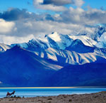
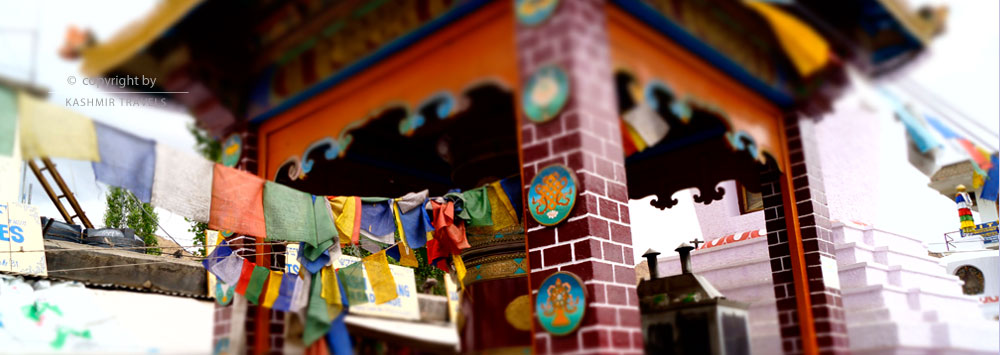
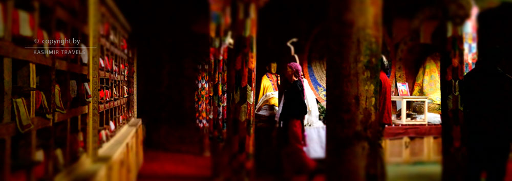
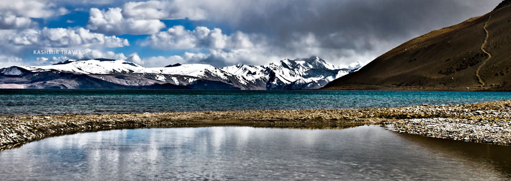
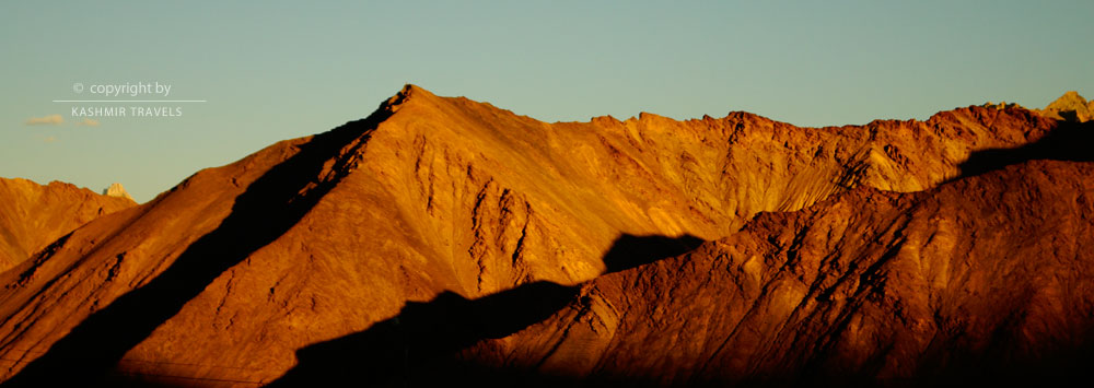
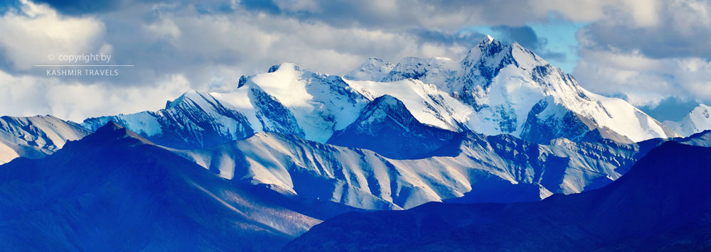
Leh is known for its cultural heritage and is famous for its monasteries. It is often called the land of monks and monasteries. Majority of people practise Buddhism followed by Islam. The city has become a popular tourist destination mainly because of its rich cultural heritage. Both domestic and foreign tourists throng the place each year. However, people who come to know about the interesting history and culture of area are rewarded by a breath-taking beauty of the place. The region is part of the greater cold desert located in the rain shadow area, where the monsoon winds reach without any moisture. The mountains rise to a great height and it feels like one could touch the sky from them. The sky is clear blue extending like a vast canopy. The mountains are snow-capped silver and blue and giving the entire town a breath-taking look. The district is famous for its sizzling lakes – Pangong, Tsomoriri and Tsokar. Due to heavy snowfall and extremely low temperature, Leh remains cut off from the rest of the world for about 6 months, while the remote areas remain cut off for as long as 8 months.
Leh is the least populated area of Jammu Kashmir with the latest population standing at 1,17,637. The literacy rate is around 62.24%. The average temperature ranges from -30oC to +30oC. It has a total of 278 educational institutes and 167 health institutions. It has an Airport as well.
KARGIL
Kargil is the second district of Ladakh division. It covers an area of 14,036 sq km. It was earlier a part of Ladakh district and was carved out from it in July 1979. It is situated on the Srinagar-Leh road at a distance of 205 km from Srinagar. It is bordered by parts of Pakistan occupied Kashmir (PoK) on the west and Kashmir Valley on the South. The region has a tremendous historical significance. The region is also known as the land of Agas majority of the people are shia Muslims and their religious heads and preachers are called Agas.The name of the district has been derived from two words Kharmeaning castle and rKil meaning centre. This signifies the fact that Kargillay between many Kingdoms.Others believe that the name has been derived from the words Gar meaning anywhere and Khil meaning a central place. This supports the fact that region is esquidistant from Srinagar, Skardo, Leh and Padum with around 200 Kms. With the passage of time KharrKil or Gar Khil became Kargil.
Gasho-Tha Khan is believed to be the first crusader who established a dynasty in Kargil in 8th century. He belonged to the royal family of Gilgit (PoK). Region had a strong influence of Tibetan culture until the introduction of Islam after which it was influenced by the Persian culture. Most of the religious and other songs make use of Persian words.
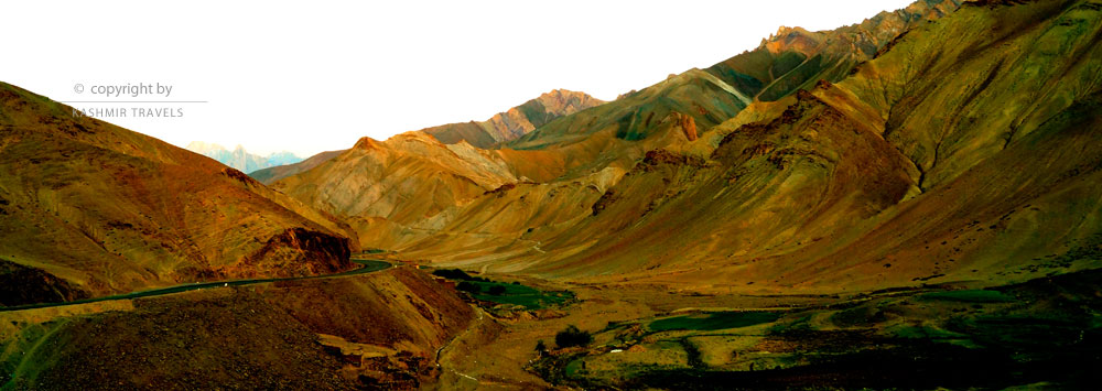
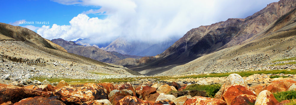
Entire area of Kargil consists of high Rocky Mountains without any vegetation at all. This district receives snow during winters ranging from 2ft to 5 ft. Drass is the second coldest inhabited place in the world, the other being Siberia in Russia. It receives an average snowfall of 7ft and in winter’s freezes at below -40oC.
Majority of the people follow Islam, which came here in 15th century through Mir Shams-ud-Din Iraqi, a scholar at Shia school of central Asia and his fellow missionaries to preach Islam. Apart from Islam, a considerable number of people follow Buddhism. People enjoy and follow a mixed culture and irrespective of ethnic identities, people speak Kargali language.
The total population of Kargil district according to 2011 census is 143,388. It is well connected with other areas of the state by road and an Airport is located near the district headquarters. The infrastructure of the place is sound with over 600 educational institutes and around 150 big and small health centres.
CIN : U63040DL2008PTC177736 Government of India
Reg No : Reg/2019/DT/42/l-2 Government of J&K Tourism

